Handlekurven er tom
Handlekurven er tom
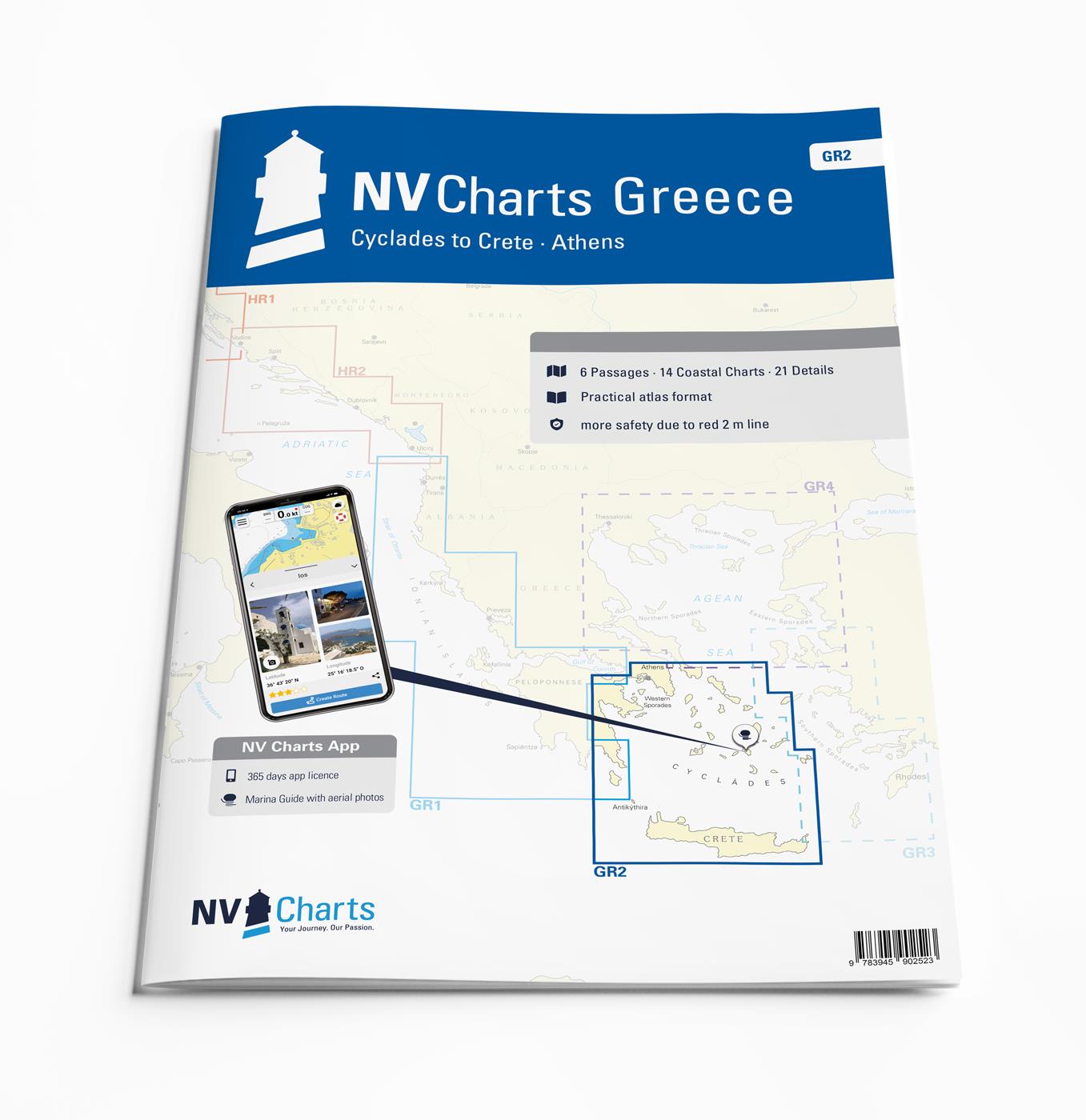
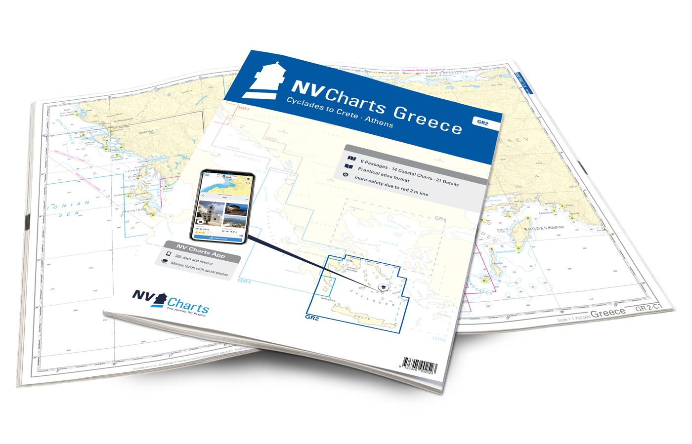


Our chart set GR2 takes you from the Cyclades in the Aegean Sea to Crete. Beautiful villages, white sandy beaches and the typical Greek serenity on the islands make the Cyclades one of the most popular holiday regions for skippers in Greece. The islands are relatively close together, so you can also visit many of the unique islands such as Mykonos, Naxos and Paros with its charming rocky bays on short trips. A unique highlight of the Cyclades is of course the island of Santorini, which, with its whitewashed houses and blue domed roofs, is one of the most beautiful islands in Europe. If you are looking for picturesque bays, wild nature and ancient sites, the island of Syros should not be missed. Here you can marvel at the pastel-colored, classicist villas and historic domed buildings even from the sea. The southern border of the Cyclades is Crete. Crete is the largest of the Greek islands and inspires with its idyllic bays, beautiful beaches and well-developed marinas. The coastal town of Rethymno in the north of the island is definitely worth a visit. In this picturesque coastal town with its narrow streets, you can expect flower-adorned houses in Venetian and Ottoman architecture and still very original island life. The area is equally attractive for sailors and motorboat drivers, you can find additional literature for the region in our online shop under the tour guides.
Thanks to the clear structure, the skipper can quickly find approaches, harbours and anchorages and is informed of important navigational details that also appear in the NV Charts app. The chart series impresses with its optimal scales and balanced sheet cuts.
6 Übersegler
14 district maps
Digital maps included
New: Vector charts download
nv charts app and navigation software
Harbour charts paper & Digital
Navigational Notes in English
NV Charts er et tysk kartforlag som har laget kart i over 30 år. De har utgitt kart over Tyskland, Danmark og Karibien i mange år. De siste årene har områdene blitt utvidet til også å gjelde deler av Sverige, Norge og USA.
Forlaget satser på kombipakker hvor man kjøpe papirkart og elektroniske sjøkart i en pakke. De elektroniske kartene kan brukes både på nettbrett, smarttelefon og PC.

Rod Heikell's 'West Aegean' is a cruising guide to the Attic coast, Eastern Peloponnese, Western Cyclades and Northern Sporades. It is the ideal...