Handlekurven er tom
Handlekurven er tom
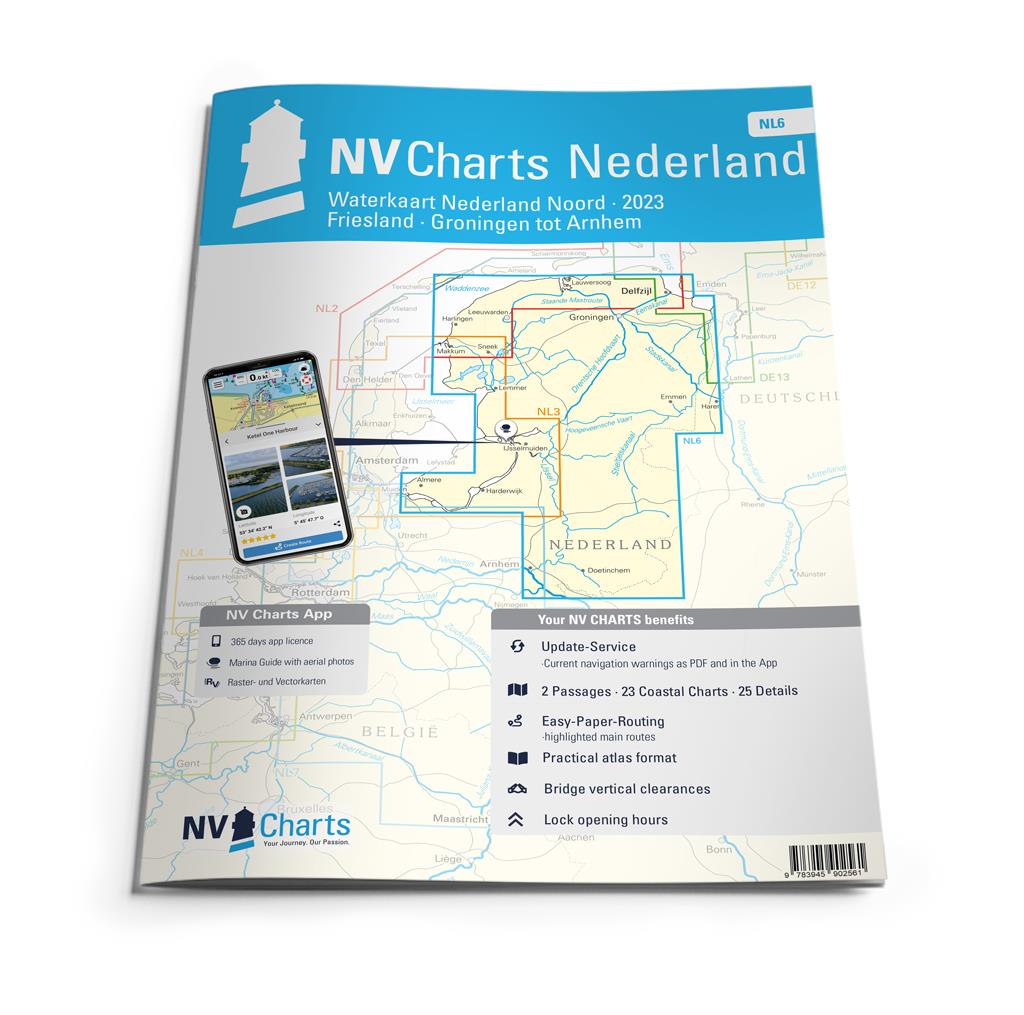


For the northern part of the Dutch inland waters, the NL6 is a practical and handy travel companion. Together with the NL7 (Waterkaart Nederland Zuid) the entire inland area of the country can be explored. Cities such as Groningen in the north and Arnhem in the south of the map are also covered in this atlas. The canals, typical for the Netherlands, are almost all navigable and interconnected. The small lakes, canals and little towns offer a charming atmosphere.In contrast to the areas on the North Sea, strong winds, currents and tides are not typical in the inland waterways, which is why you can take it a little easier there overall. The perfect area for beginners or sailors who want to gain a little extra experience. If you long for harmony and don't want to pay attention on currents and tides too much, you will have a lot of fun in the inland waters and with the NL6!
Thanks to the clear structure of the nautical chart, the skipper can quickly find approaches, harbours and anchorages and is informed of important navigational details that also appear in the NV Charts app. The tide data and current information are also available in the app. The chart series impresses with its detailed scales and optimal sheet cuts.
NV Charts er et tysk kartforlag som har laget kart i over 30 år. De har utgitt kart over Tyskland, Danmark og Karibien i mange år. De siste årene har områdene blitt utvidet til også å gjelde deler av Sverige, Norge og USA.
Forlaget satser på kombipakker hvor man kjøpe papirkart og elektroniske sjøkart i en pakke. De elektroniske kartene kan brukes både på nettbrett, smarttelefon og PC.