Handlekurven er tom
Handlekurven er tom
Fifth Edition (2019): Updates are published on the East Coast Pilot website.
Since its launch East Coast Pilot has become the most popular pilot book for the creeks, harbours and rivers between Great Yarmouth and Ramsgate, providing clear and concise sailing directions for visitors and regular East Coast cruising yachtsmen alike.
The three authors all keep their boats on the East Coast and sail these waters regularly, using their time afloat to update their knowledge and experience so that they can pass on exactly the kind of information required by anyone cruising there.
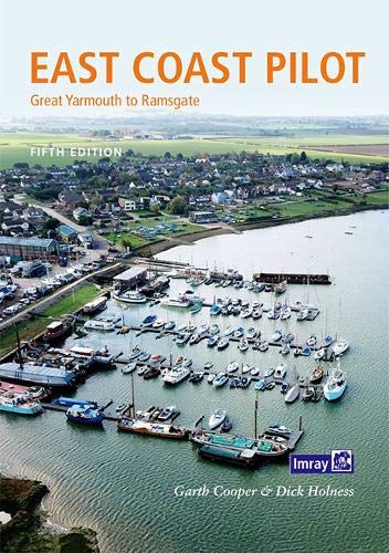
For clarity and ease of reference, the pilotage information is arranged in sequence on double page spreads to give the navigator all that is required to take his craft into a river or harbour. The information is backed up by Imray’s clear cartography, the authors’ sea level photographs of exactly what the navigator will see, Patrick Roach’s aerial photographs for an overview of the main areas and ‘rolling road’ diagrams. These unique illustrations, introduced to great acclaim in the first edition, show buoyage sequences and tracks to steer for the more difficult sections of rivers and harbour entrances.
Easy to see panels give key waypoints, port and harbour contact details plus information about the main facilities a cruising crew may need.