Handlekurven er tom
Handlekurven er tom


Format: Combipack paper / digital cd and app
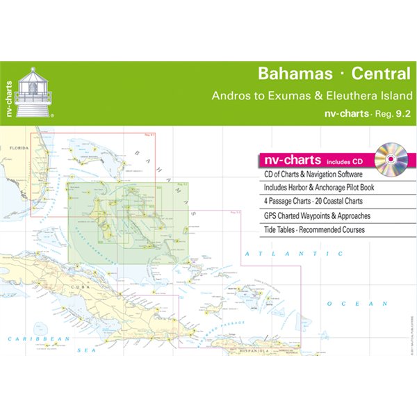
nv-charts Reg. 9.2: Bahamas Central • Andros to Exuma & Eleuthera Islands
• CD of Charts & Navigation Software
• Includes Harbour & Anchorage Pilot Book
• 4 Passage Charts - 20 Coastal Charts
• GPS Charted Waypoints - Approaches
• Tide Tables - Recommended Courses
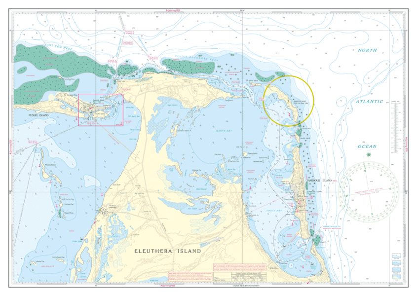
The nv-charts are characterised by fine contours and easy to distinguish colour graduations of the depth lines – turquoise for coral reefs, red for the 2-meter-line and blue for the 5-m-areas. Presented in a handy, user friendly size, (23½’’ x 16 ½’’) a thick plastic envelope protects the charts, enabling them to be easily stored.
The importance of good graphical representation of the topography when sailing in the Caribbean is essential. Well marked rivers, towns and street plans all help to give a clear overall view of the shoreside facilities of the islands.
Red numbered waypoints with coordinates based on WGS 84 enable yachtsmen to navigate using their GPS instruments. Heights and depths are given in the internationally accepted format of meters. Large scale approaches and land contour markings simplify the entrance into anchorages.
NV Charts er et tysk kartforlag som har laget kart i over 30 år. De har utgitt kart over Tyskland, Danmark og Karibien i mange år. De siste årene har områdene blitt utvidet til også å gjelde deler av Sverige, Norge og USA.
Forlaget satser på kombipakker hvor man kjøpe papirkart og elektroniske sjøkart i en pakke. De elektroniske kartene kan brukes både på nettbrett, smarttelefon og PC.

Whether you seek authoritative pilotage information, comprehensive details of available facilities, or simply suggestions for planning an...

1:750 000 WGS 84 Plans: Horta Vila Franco do Campo Vila de Praia Vila do Porto Porto das Velas Ponta...

1:60,000 WGS 84 Plans include: St George's Harbour Dockyard Marina Hamilton Harbour

1:250,000 WGS 84 Plans included: Wick Bay Helmsdale Inverness Firth Inverness Nairn Burghead Hopeman...

Scale: 1:170,000 WGS 84 Plans: Dungarven Harbour Waterford Harbour Youghal Harbour Cork Lower Harbour Cork to East Ferry Marina Crosshaven Kinsale...

1:280,000 WGS 84 Wales to the East Coast of IrelandPlans included: Cardigan New Quay Aberystwyth Aberdovey...