Handlekurven er tom
Handlekurven er tom
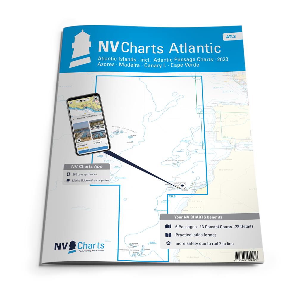
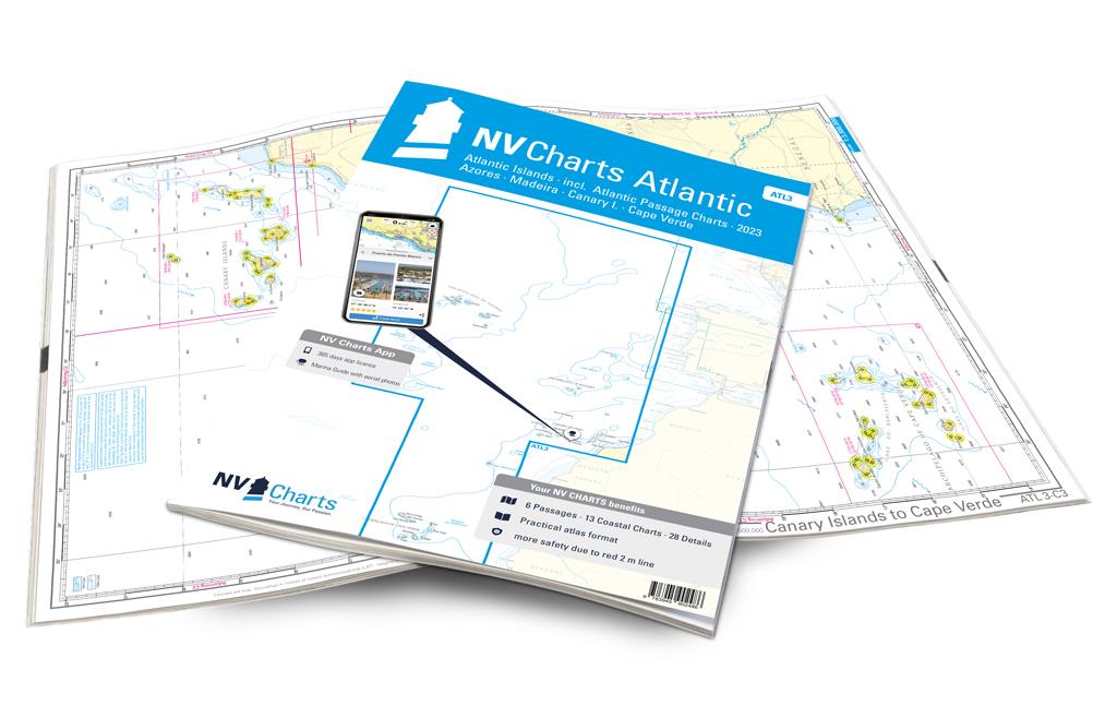


Who wants to dare the great adventure of crossing the Atlantic is well equipped with the ATL3. The Atlantic islands - the archipelagos Madeira, Canaries, Azores and Cape Verde - are also described in detail in this atlas. If you want to go there, you may be drawn to the Caribbean. But the chart set is also ideal for trips to or from the previous island groups.
One of the most famous archipelagos are the Spanish Canaries. These are characterized by a diverse landscape, as not every island is the same as the other. For example, Lanzarote is known for its black lava rocks and beaches, while, in turn, Tenerife makes you think of Pico del Teide, the highest mountain in Spain. That can also be admired from the water. Those who appreciate the green will be happy in La Palma, the greenest island of the Canary Islands. Madeira, which lies north of the Canary Islands, is also worth a stopover. The smaller Portuguese archipelago is characterized by its mountainous landscape that even extends to the coast. The Azores further west to the open sea are also known for their diverse landscape, so there is one or more islands appealing to every taste. South of the Canary Islands are the Cape Verde Islands. This independent archipelago is not yet a tourist magnet and is also very varied, which is why a detour there is definitely worthwhile if you have enough time.
Thanks to the clear structure the skipper can quickly find approaches, harbours and anchorages and is informed of important navigational details that also appear in the NV Charts app. The chart series impresses with its optimal scales and balanced sheet cuts.
NV Charts er et tysk kartforlag som har laget kart i over 30 år. De har utgitt kart over Tyskland, Danmark og Karibien i mange år. De siste årene har områdene blitt utvidet til også å gjelde deler av Sverige, Norge og USA.
Forlaget satser på kombipakker hvor man kjøpe papirkart og elektroniske sjøkart i en pakke. De elektroniske kartene kan brukes både på nettbrett, smarttelefon og PC.


1:300,000 WGS84 Passage Chart. Includes inset of Dover Strait.

1:1,000,000 WGS 84 Southern Ireland to Northern Spain

1:825,000 WGS 84 Plans included: La Coruña Baiona Leixões Lisboa Approaches Cascais Sines Lagos...

Plans included: Dunkerque Oostende Zeebrugge Vlissingen Nieuwpoort Breskens Blankenberge The...
